 vesseltracker.com
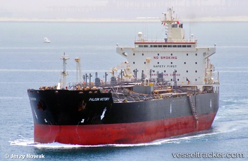
Vessel STAR SINO IMO: 9174610, MMSI: 352529000 Chemical Oil Products Tanker
UTC, 4.45017, 99.22514, course: 313, speed: 10.6
UTC, 4.66751, 98.96946, course: -1, speed: 8.8
2026-03-04 05:18:48 UTC, 4.82164, 98.82363, course: -1, speed: 8.1
Live AIS position:
UTC. 51 nm E of Kualalangsa),
updated 2026-03-04 05:18:48 UTC.
Find the position of the vessel STAR SINO on the map. The latter are known coordinates and path.
marine traffic ship tracker show on live map
The current position of vessel STAR SINO is 4.82164 lat / 98.82363 lng. Updated: 2026-03-04 05:18:48 UTCCurrently sailing under the flag of Panama
STAR SINO built in 1999 year
Deadweight:
46473 tDetails:
Last coordinates of the vessel:
UTC, 4.29218, 99.40453, course: 311, speed: 11.1UTC, 4.45017, 99.22514, course: 313, speed: 10.6
UTC, 4.66751, 98.96946, course: -1, speed: 8.8
2026-03-04 05:18:48 UTC, 4.82164, 98.82363, course: -1, speed: 8.1